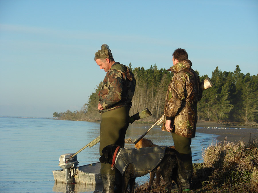
Hunting and shooting
Hunters have been using the Waimakariri riverbed and berm for over 150 years but as the number of visitors increases, we need to manage the park carefully.
We want all users catered for without conflict of interest or damage to the environment and essential land and river control infrastructure.
We recognise game bird hunting as a legitimate form of recreation so we work with Fish & Game NZ (North Canterbury Region) to ensure continued hunter access.
Please check our notices and events for the latest information or like our Facebook page to stay up to date.
Target shooting with all types of firearms is prohibited within the Waimakariri River Regional Park. People who wish to shoot could try one of the shooting clubs that lease land at McLeans Island.
Important hunting and shooting information
Criteria and rules
- Only game bird hunting is permitted (including Canada geese and pigeons) at the Waimakariri River Regional Park, including the riverbed.
- Target shooting with all types of firearms is prohibited.
- The hunting of small game such as rabbits and possums by the general public is prohibited./li>
- Gamebird hunting must only happen in the designated areas.
- Only shotguns may be used.
- A valid Fish and Game licence must be held.
- Fish and Game regulations and the Gamebird Hunting Code of Practice must be adhered to.
Gamebird hunting areas
The following conditions apply to game bird hunting at the Waimakariri River Regional Park and have been developed in conjunction with Fish & Game NZ (North Canterbury Branch).
Open
- Northbank - Upstream of Eyre Diversion
- Southbank – Upstream of Thompsons Road
Restricted
- Kaiapoi Island – Poynters Nature Reserve & Monopoli’s Pond (dawn to 9am)
- Kaiapoi River confluence to Kairaki Beach (dawn to midday)
- Styx River mouth & saltmarsh (dawn to midday, and 4pm to dusk)
- Haul Road downstream to the edge of Bailes Island Picnic area (dawn to 9am)
- The riverbed from Baynons Brake to Eyre Diversion/Harrs Road (dawn to dusk
- The riverbed from Haul Road (southbank) and Eyre Diversion (northbank) downstream to the edge of Baynons Brake on the north bank and Rock Spur on the south bank (dawn to dusk).
Prohibited
- Kaiapoi Island: from Railway Reserve through to the eastern edge of Baynons Brake (including the riverbed).
- Baynons Brake to Eyre Diversion/Harrs Road
- Dixons Bay – Between groyne 38 & 39 (north bank of the river)
- Te Rauakaaka, including Kainga Beach – upstream from Stewarts Gully
- Templers Island – from the Ōtukaikino stream to Bailes Island Picnic Area.
- McLeans Forest (Haul Rd to Miners Bank Rd)

